Predicting PM2.5 from satellite features.
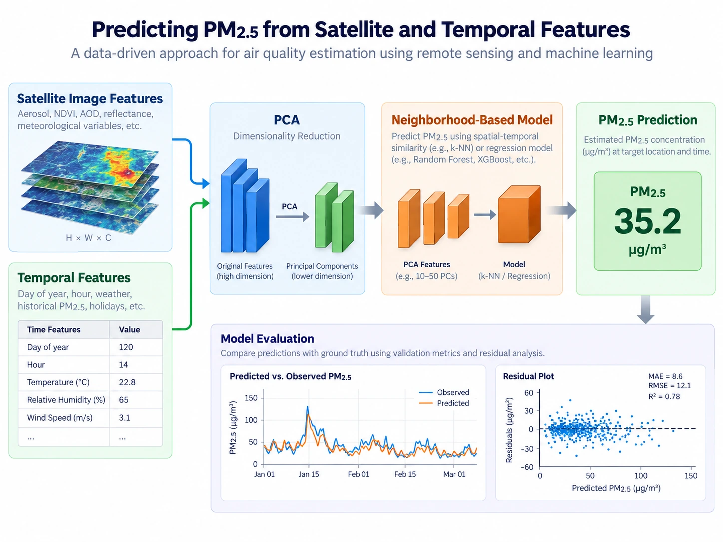
I predicted ground-level PM2.5 from 2,304 satellite-image features and engineered temporal features, using PCA to compress the image information.
2,304 features · 10-fold CV · held-out quarter
What I worked on
I jointly tuned PCA component count and neighborhood size with 10-fold cross-validation, rather than choosing dimensionality reduction separately from the predictive model.
I then validated the model on a held-out quarter and examined residual and quantile plots to diagnose fit. That evaluation kept the final assessment separate from the cross-validation used for tuning.
Tools and methods PCA · Neighborhood-based prediction · Joint tuning · Residual diagnostics